Translation result
One Launch vs. Six: The Incident That Proved Who Was Right
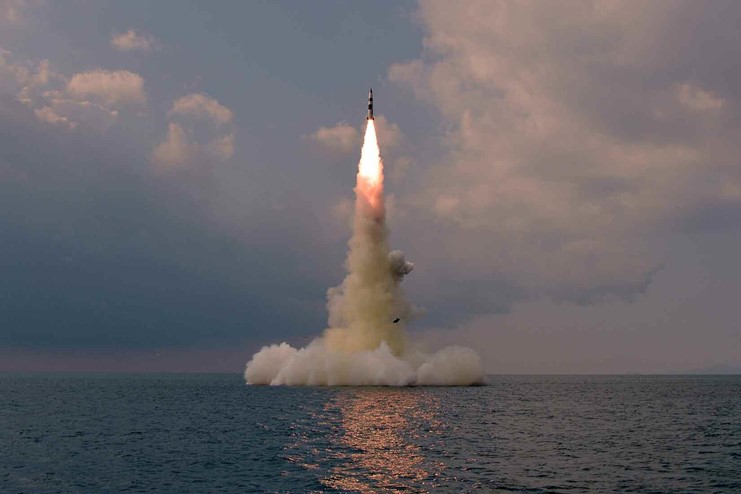
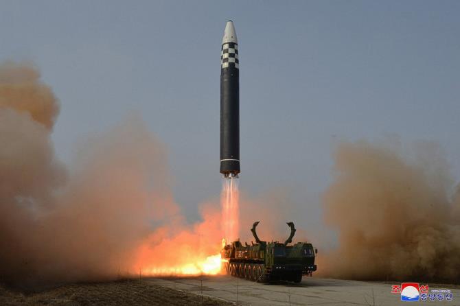
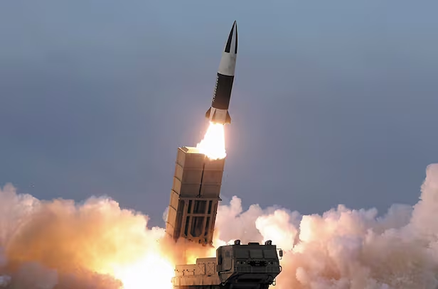
On the evening of March 9, 2023, North Korea fired short-range ballistic missiles into the Yellow Sea off Nampo. South Korea’s military initially reported a single SRBM launch, but U.S. warning satellites and radar analysis soon indicated Pyongyang likely fired five to six rounds.
Seoul revised its assessment from one to multiple launches. The next day, North Korean state media released photos showing six tactical surface-to-surface missiles — a domestic version of the KTSSM — launching simultaneously. The episode highlighted how overlapping South Korean and U.S. ISR assets can improve accuracy from launch through impact.
4·25 Reconnaissance Program Puts Five Satellites in Orbit — “Our Own Eyes in Space”
South Korea’s space-based reconnaissance posture has changed significantly in recent years. Led by the Agency for Defense Development, the 4·25 military reconnaissance satellite program launched five satellites into orbit: four SAR (synthetic aperture radar) platforms and one electro-optical/infrared (EO/IR) sensor. The fifth satellite rode a SpaceX Falcon 9 from Cape Canaveral, Florida.
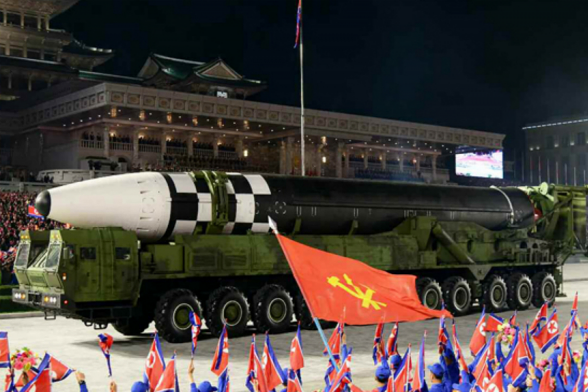
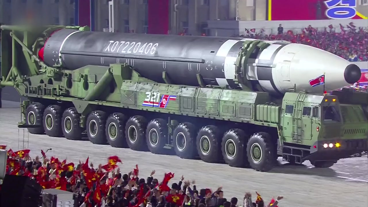
These satellites provide submeter resolution — roughly 30–50 cm — enabling analysts to identify tanks, artillery positions, ships and North Korea’s newer destroyers. They overfly the Korean Peninsula about every 2.5 hours, capturing imagery across the region. SAR sensors can penetrate foliage and some concealment under clouds, fog or at night, making them valuable for persistent monitoring of nuclear facilities, ICBM bases and submarine pens.
“More Images Don’t Cut It”: The Real Battle Is Analysis
Putting the 4·25 satellites in orbit has boosted confidence in Seoul’s independent reconnaissance, but current and former military officials say capability doesn’t hinge on hardware alone. What matters more is accumulated interpretation experience and analytic tradecraft.
The U.S. National Reconnaissance Office’s KH-11/13 “Keyhole” platforms are reported to achieve 10–15 cm resolution — detailed enough to count TEL wheels or discern launcher azimuth — and they benefit from decades of automated processing and AI-enabled analysis. While South Korea’s 4·25 constellation ranks among the world’s top five in capability, it remains at a stage where the loss or malfunction of a single satellite could lengthen revisit times and create surveillance gaps.

“Know a Missile Launch Within a Minute”? U.S. Early-Warning Satellites Still Lead
Seoul continues to rely heavily on U.S. real-time warning systems. The U.S. Space Force’s SBIRS (Space-Based Infrared System) constellation detects the infrared plume at the moment of ballistic missile launch and can generate alerts within roughly one minute. A set of six geostationary and two highly elliptical orbit satellites monitor launch signatures worldwide, including from North Korea, around the clock. A next-generation OPIR (Overhead Persistent Infrared) system is under development.
South Korea detects most ballistic missiles with Green Pine radars and the Aegis SPY-1 radars, but Earth’s curvature hampers detection during the initial boost phase. Low-altitude cruise missiles skimming the sea surface are particularly difficult to spot without complementary U.S. and Japanese assets.
Faster Analysis When Air, Space and Ground Reconverge
The U.S. and South Korea don’t rely on satellites alone. The U.S. deploys RC-135W Rivet Joint SIGINT aircraft, next-generation high-altitude ARES reconnaissance platforms and other signals-intelligence assets to monitor communications, radar emissions and command-and-control activity before and after North Korean launches. South Korean forces track trajectories with E-737 Peace Eye AWACS, ballistic-missile early-warning radars and a range of land, sea and air sensors.
When a KN-25–class 600 mm rocket system detonated in midair shortly after launch in the western region last April, combined analysis of satellite, radar and aircraft data allowed U.S. and South Korean analysts to rapidly estimate trajectory, likely failure mode and warhead characteristics, intelligence officials said. The greater the overlap of sensors — the more “eyes and ears” — the faster the alerts and analysis and the lower the chance of misjudgment.
How to Prevent an Intelligence Dispute From Becoming an Alliance Rift
After Unification Minister Jeong Dong‑yeong’s comment about “assembled nuclear facilities,” Washington reduced and delayed some satellite imagery sharing with Seoul. That prompted voices in South Korea calling for reciprocal measures — a sign of growing confidence that Seoul now has substantial indigenous imagery and data.
But experts warn that turning the issue into a tit‑for‑tat intelligence spat could undermine contingency preparedness. Lee Chun‑geun of KAIST noted that launching satellites doesn’t instantly confer U.S.-level capability; decades of interpretation experience and analytic know‑how are the core advantage. Cha Doo‑hyun, vice president of the Asan Institute for Policy Studies, said that even after wartime operational control transfer, U.S. ISR support remains an underlying assumption. Seoul should therefore focus on strategically leveraging allied intelligence rather than reflexively cutting ties in retaliation.


Most Commented